Datei:Location map Manila.png
 Van Wikipedia, de gratis encyclopedie
Größe dieser Vorschau: 800 × 530 Pixel. Weitere Auflösungen: 320 × 212 Pixel | 640 × 424 Pixel | 1.024 × 678 Pixel | 1.344 × 890 Pixel
Originaldatei (1.344 × 890 Pixel, Dateigröße: 1,2 MB, MIME-Typ: image/png)
![]()
Diese Datei und die Informationen unter dem roten Trennstrich werden aus dem zentralen Medienarchiv Wikimedia Commons eingebunden.
![]()
Beschreibung
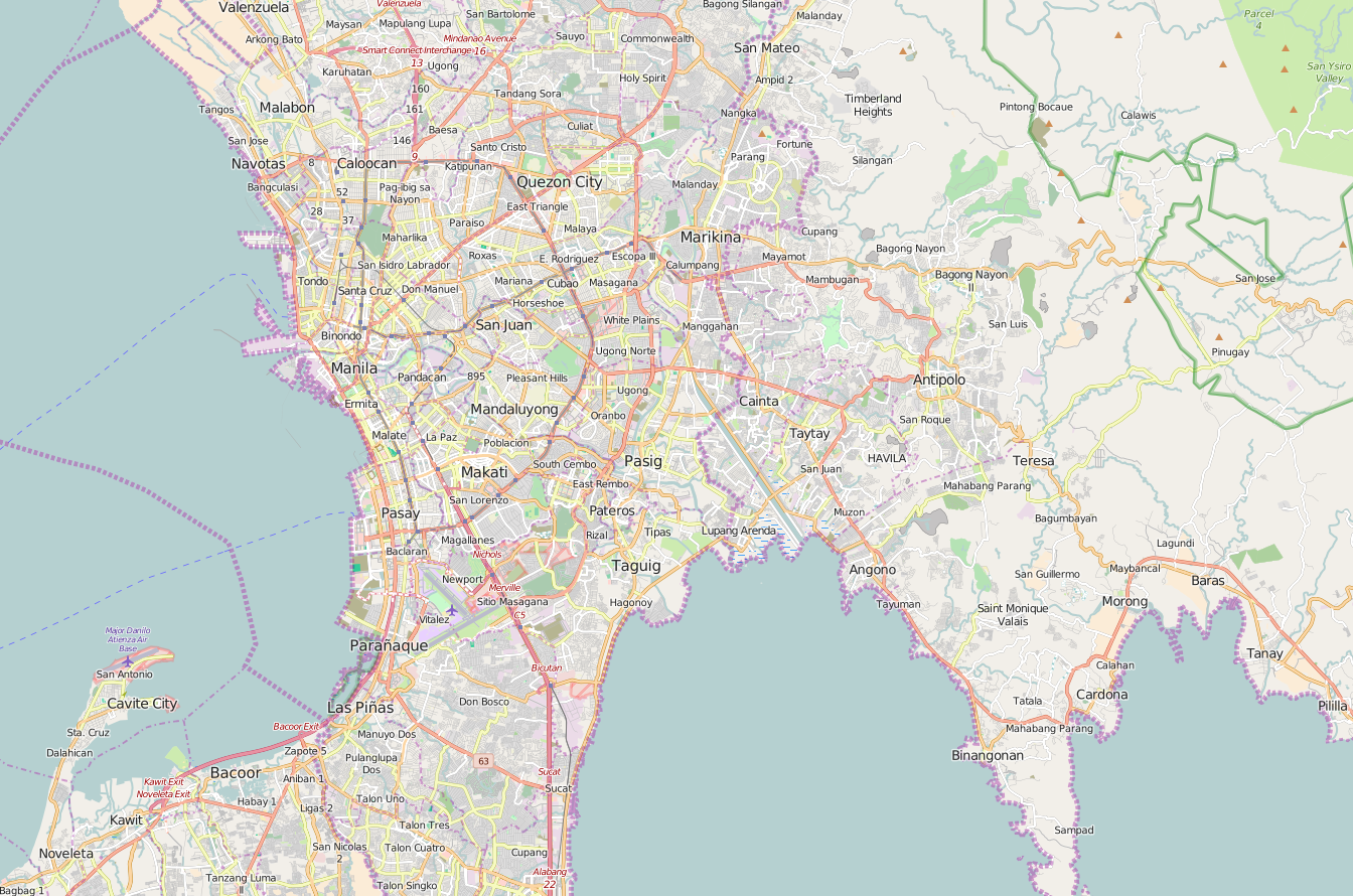
| Beschreibung | English: OpenStreetMap location map of Manila, Philippines.
|
| Datum | |
| Quelle | OpenStreetMap |
| Urheber | OpenStreetMap contributors |
Lizenz
| Dieses Werk enthält Informationen aus OpenStreetMap, die unter den Bedingungen der Open Database License (ODbL) bereitgestellt wurden. Die ODbL erfordert keine bestimmte Lizenz für die Karten, die aus ODbL-Daten erstellt werden. Die durch die OpenStreetMap-Stiftung erstellte Kartenteile standen vor dem 1. August 2020 unter der CC-BY-SA-2.0-Lizenz. Karten von anderen Erstellern können unter anderen Lizenzen veröffentlicht sein. |
Dateiversionen
Klicke auf einen Zeitpunkt, um diese Version zu laden.
| Version vom | Vorschaubild | Maße | Benutzer | Kommentar | |
|---|---|---|---|---|---|
| aktuell | 04:56, 8. Jan. 2016 | | 1.344 × 890 (1,2 MB) | Axe-koan | User created page with UploadWizard |
Dateiverwendung
Keine Seiten verwenden diese Datei.
Globale Dateiverwendung
Die nachfolgenden anderen Wikis verwenden diese Datei:
- Verwendung auf en.wikipedia.org
- Ninoy Aquino International Airport
- Ayala Center
- New Era University
- Quezon Memorial Circle
- AMA University
- Araneta Coliseum
- National College of Business and Arts
- Siena College of Quezon City
- UST Angelicum College
- Blumentritt station (LRT)
- Monumento station
- Doroteo Jose station
- Central Terminal (LRT)
- Gil Puyat station
- EDSA station (LRT)
- Baclaran station
- Vito Cruz station (LRT)
- Recto station
- Araneta Center–Cubao station (LRT)
- Tayuman station (LRT)
- United Nations station (LRT)
- Carriedo station
- Libertad station
- Pedro Gil station
- Quirino station (LRT)
- Katipunan station
- V. Mapa station
- Legarda station
- Santolan station
- North Avenue station (MRT)
- Shaw Boulevard station
- Araneta Center–Cubao station (MRT)
- Ayala station
- GMA–Kamuning station
- Quezon Avenue station
- Taft Avenue station
- Guadalupe station (MRT)
- Kalayaan College
- Ortigas station
- Fernando Poe Jr. station
- Balintawak station
- Buendia station (MRT)
- Boni station
- Santolan–Annapolis station
- Magallanes station
- Abad Santos station
- Bay City, Metro Manila
- Betty Go-Belmonte station
- Pureza station
- Arca South
Weitere globale Verwendungen dieser Datei anschauen.