Antsirabato Airport
 From Wikipedia the free encyclopedia
Antsirabato Airport | |||||||||||
|---|---|---|---|---|---|---|---|---|---|---|---|
| Summary | |||||||||||
| Airport type | Public/Military | ||||||||||
| Operator | ADEMA (Aéroports de Madagascar) | ||||||||||
| Serves | Antalaha | ||||||||||
| Location | Antalaha, Madagascar | ||||||||||
| Elevation AMSL | 20 ft / 6 m | ||||||||||
| Coordinates | 14°59′57″S 50°19′12″E / 14.99917°S 50.32000°E | ||||||||||
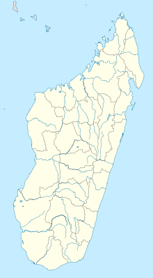
| Map | |||||||||||
 | |||||||||||
| Runways | |||||||||||
| |||||||||||
Antsirabato Airport is an airport in Antalaha, Madagascar (IATA: ANM, ICAO: FMNH). This airport can be accessed by the National road 53. It is in a distance of 12 km from Antalaha.
References
[edit]- ^ "Airport Information ANM". AirportGuide. Retrieved 1 July 2015.
- ^ "ANM Runway Information". Airport Guide. Retrieved 1 July 2015.
