Kitoy
 From Wikipedia the free encyclopedia
| Kitoy | |
|---|---|
 | |
 | |
| Location | |
| Country | Russia |
| Physical characteristics | |
| Mouth | Angara |
• coordinates | 52°39′14″N 103°53′56″E / 52.6539°N 103.8990°E |
| Length | 316 km (196 mi) |
| Basin size | 9,190 km2 (3,550 sq mi) |
| Basin features | |
| Progression | Angara→ Yenisey→ Kara Sea |
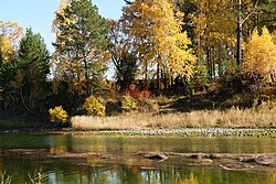
The Kitoy (Russian: Китой, Buryat: Хути, romanized: Khuti) is a river in Buryatia and Irkutsk Oblast in Russia, a left tributary of the Angara. The length of the river is 316 km. The area of its basin is 9,190 km².[1] The Kitoy freezes up in the second half of October and stays icebound until late April through early May. The city of Angarsk is located on the Kitoy.
References
[edit]- ^ "Река КИТОЙ in the State Water Register of Russia". textual.ru (in Russian).