Shughnon Range
 From Wikipedia the free encyclopedia
| Shughnon Range Шугнанский хребет | |
|---|---|
| Highest point | |
| Peak | Pik Skalisty |
| Elevation | 5,704 m (18,714 ft) |
| Dimensions | |
| Length | 80 km (50 mi) E/W |
| Area | 150 km2 (58 sq mi) |
| Geography | |
| Country | Tajikistan |
| Range coordinates | 37°36′N 72°14′E / 37.600°N 72.233°E |
| Parent range | Pamir Mountains |
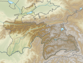
Shughnon Range or Shugnan Range (Russian: Шугнанский хребет) is a mountain range in Tajikistan, part of the Pamir Mountain System. Administratively it is located in Tajikistan's Region of Republican Subordination.[1]
Geography
[edit]The Shughnon Range stretches between the river valleys of the Gunt in the north and its tributary the Shakhdara in the south. Its slopes are covered in alpine meadows and steppe.[2] There are glaciated areas in the range.[3]
Its highest summit is 5,704 m high Pik Skalisty.[2]
See also
[edit]References
[edit]

