Pinkafeld

| Pinkafeld | ||||
 Héraldique | ||||
 | ||||
| Administration | ||||
|---|---|---|---|---|
| Pays | ||||
| Land | ||||
| District (Bezirk) | Oberwart | |||
| Code postal | A- | |||
| Indicatif | 43+ | |||
| Démographie | ||||
| Population | 5 779 hab. ([1]) | |||
| Densité | 211 hab./km2 | |||
| Géographie | ||||
| Coordonnées | 47° 22′ 18″ nord, 16° 07′ 19″ est | |||
| Altitude | 399 m | |||
| Superficie | 2 743 ha = 27,43 km2 | |||
| Localisation | ||||
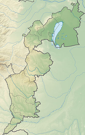
| Géolocalisation sur la carte : Autriche Géolocalisation sur la carte : Autriche Géolocalisation sur la carte : Burgenland | ||||
| modifier | ||||
Pinkafeld est une commune autrichienne du district d'Oberwart dans le Burgenland.
Géographie
[modifier | modifier le code]Histoire
[modifier | modifier le code]Sous le nom de Pinkafõ, c'était une bourgade hongroise, mais à majorité germanophone, depuis le Moyen Âge et jusqu'en 1918. Lors de la dislocation de l'Autriche-Hongrie, la frange frontalière occidentale de la Hongrie resta en Autriche, formant alors le Burgenland. Pinkafeld est le lieu de naissance du géologue austro-hongrois naturalisé français François Kraut.
Personnalités
[modifier | modifier le code]- Margarete Jahrmann (1967-), artiste contemporaine autrichienne, est née à Pinkafeld.
- « Einwohnerzahl 1.1.2018 nach Gemeinden mit Status, Gebietsstand 1.1.2018 », Statistik Austria (en) (consulté le )


