ファイル:Papua New Guinea location map.svg


この SVG ファイルのこの PNG プレビューのサイズ: 800 × 481 ピクセル. その他の解像度: 320 × 192 ピクセル | 640 × 385 ピクセル | 1,024 × 615 ピクセル | 1,280 × 769 ピクセル | 2,560 × 1,538 ピクセル | 2,280 × 1,370 ピクセル。
元のファイル (SVG ファイル、2,280 × 1,370 ピクセル、ファイルサイズ: 501キロバイト)
ウィキメディア・コモンズのファイルページにある説明を、以下に表示します。 |
概要
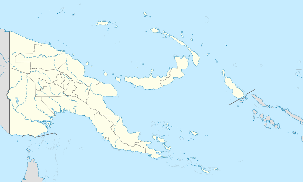
| 解説 | Deutsch: Positionskarte von Papua-Neuguinea Quadratische Plattkarte. Geographische Begrenzung der Karte:
English: Location map of Papua New Guinea Equirectangular projection. Geographic limits of the map:
|
| 日付 | 05-09-2008 |
| 原典 | own work, using
|
| 作者 | NordNordWest |
| その他のバージョン |
|

 | この地図は、ドイツ語版の(地図研究室)で制作、もしくは改善されたものです。更なる改善の為、地図を提案することもできます。 |
ライセンス
この作品の著作権者である私は、この作品を以下のライセンスで提供します。
 | この文書は、フリーソフトウェア財団発行のGNUフリー文書利用許諾書 (GNU Free Documentation License) 1.2またはそれ以降のバージョンの規約に基づき、複製や再配布、改変が許可されます。不可変更部分、表紙、背表紙はありません。このライセンスの複製は、GNUフリー文書利用許諾書という章に含まれています。 |
このファイルはクリエイティブ・コモンズ 表示-継承 3.0 非移植ライセンスのもとに利用を許諾されています。
- あなたは以下の条件に従う場合に限り、自由に
- 共有 – 本作品を複製、頒布、展示、実演できます。
- 再構成 – 二次的著作物を作成できます。
- あなたの従うべき条件は以下の通りです。
- 表示 – あなたは適切なクレジットを表示し、ライセンスへのリンクを提供し、変更があったらその旨を示さなければなりません。これらは合理的であればどのような方法で行っても構いませんが、許諾者があなたやあなたの利用行為を支持していると示唆するような方法は除きます。
- 継承 – もしあなたがこの作品をリミックスしたり、改変したり、加工した場合には、あなたはあなたの貢献部分を元の作品とこれと同一または互換性があるライセンスの下に頒布しなければなりません。
あなたは上記のライセンスから、どれか一つ以上を選択できます。
ファイルの履歴
過去の版のファイルを表示するには、その版の日時をクリックしてください。
| 日付と時刻 | サムネイル | 寸法 | 利用者 | コメント | |
|---|---|---|---|---|---|
| 現在の版 | 2012年6月5日 (火) 15:48 | | 2,280 × 1,370 (501キロバイト) | NordNordWest | upd |
| 2011年5月26日 (木) 07:49 |  | 2,280 × 1,370 (767キロバイト) | NordNordWest | Reverted to version as of 19:42, 8 December 2009 no need to revert | |
| 2011年5月25日 (水) 23:00 |  | 2,280 × 1,370 (674キロバイト) | AlexR.L. | Reverted to version as of 19:51, 5 September 2008 | |
| 2009年12月8日 (火) 19:42 |  | 2,280 × 1,370 (767キロバイト) | NordNordWest | + rivers | |
| 2008年9月5日 (金) 19:51 |  | 2,280 × 1,370 (674キロバイト) | NordNordWest | {{Information |Description= {{de|Positionskarte von Papua-Neuguinea}} Quadratische Plattkarte. Geographische Begrenzung der Karte: * N: 0.6° S * S: 12.2° S * W: 140.4° O * O: 159.7° O {{en|Location map of [[:en:Papua New Guinea |
ファイルの使用状況
以下の 29 ページがこのファイルを使用しています:
- アロタウ
- ウェワク
- オロカナ
- カビエン
- キリウィナ島
- キワイ島
- ココポ
- ゴロカ
- サラマウア
- シンプソン湾
- ソロモン海
- ダル (パプアニューギニア)
- ダル空港
- チムブ空港
- ニッサン島
- ノーマンビー島 (パプアニューギニア)
- パプアニューギニア地震 (2018年)
- パプアニューギニア地震 (2022年)
- ブカ空港
- ポポンデッタ (パプアニューギニア)
- ポートモレスビー・ジャクソン国際空港
- マダン (パプアニューギニア)
- メンディ
- ラバウル空港
- ロイド・ロブソン・オーヴァル
- ワウ (パプアニューギニア)
- ワカナイ
- モジュール:Location map/data/Papua New Guinea
- モジュール:Location map/data/Papua New Guinea/doc
グローバルなファイル使用状況
以下に挙げる他のウィキがこの画像を使っています:
- af.wikipedia.org での使用状況
- als.wikipedia.org での使用状況
- Vorlage:Positionskarte Papua-Neuguinea
- Port Moresby
- Bismarck-Archipel
- Neubritannien
- Duke-of-York-Inseln
- Admiralitäts-Inseln
- D’Entrecasteaux-Inseln
- Lavongai
- Westliche Inseln
- Feni-Inseln
- Lihir-Inseln
- Tabar-Inseln
- Tanga-Inseln
- St.-Matthias-Inseln
- Vitu-Inseln
- Neuirland
- Louisiade-Archipel
- Marshall-Bennett-Inseln
- Woodlark-Insel
- Trobriand-Inseln
- Mount Wilhelm
- an.wikipedia.org での使用状況
- ar.wikipedia.org での使用状況
- ast.wikipedia.org での使用状況
- Puertu Moresbi
- Nueva Bretaña
- Montes Herzog
- Archipiélagu Bismarck
- Islles del Duque de York
- Tabubil
- Islla Daru
- Estrechu de Dampier
- Islles del Almirantalgu
- Monte Lamington
- Archipiélagu de les Lluisiaes
- Aeropuertu Internacional de Jacksons
- Aeropuertu de Guasopa
- Puertu de Dreger
- Módulu:Mapa de llocalización/datos/Papúa Nueva Guinea
- Módulu:Mapa de llocalización/datos/Papúa Nueva Guinea/usu
- Islles d'Entrecasteaux
- Provincia de Nueva Bretaña Occidental
- Islles Trobriand
- Kitava
- Vakuta
このファイルのグローバル使用状況を表示する。