Sierra Velluda

| Sierra Velluda | |
|---|---|
 South-southwest face of Sierra Velluda. Antuco Volcano and Domuyo are visible in the upper-left portion of the image. | |
| Highest point | |
| Elevation | 3,585 m (11,762 ft)[1] |
| Prominence | 1,784 m (5,853 ft)[2] |
| Listing | Ultra |
| Coordinates | 37°27′48″S 71°24′57″W / 37.46333°S 71.41583°W[2] |
| Geography | |
| Parent range | Andes |
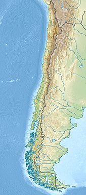
Sierra Velluda is a massive Pleistocene stratovolcano located immediately southwest of the Antuco Volcano, in the Bío Bío Region of Chile. The heavily glaciated mountain has two main summits and is the tallest mountain in Laguna del Laja National Park.
Sierra Velluda was formed in two stages. The first stage occurred 495,000 years ago and is formed by about 1.5 kilometres (0.93 mi) of breccia and lava flows, with sporadic pyroclastic flows. The second is dated to 381,000 years ago and is made out of 3 kilometres (1.9 mi) breccia and lava. Subsequently, glacial erosion exposed the older layers.[3]

See also
[edit]References
[edit]- ^ USGS. "P 1386-I Chile and Argentina - Wet Andes: Tinguiririca Pass - Puerto Aisen". Retrieved 2007-02-04.
- ^ a b "Argentina and Chile, Central Ultra-Prominences". Peaklist.org. Retrieved 2014-08-16.
- ^ Melnick, Daniel; Charlet, François; Echtler, Helmut P.; De Batist, Marc (2006-10-01). "Incipient axial collapse of the Main Cordillera and strain partitioning gradient between the central and Patagonian Andes, Lago Laja, Chile". Tectonics. 25 (5): TC5004. Bibcode:2006Tecto..25.5004M. doi:10.1029/2005tc001918. ISSN 1944-9194.
