Súbor:Mapa loc Arica y Parinacota.svg


Pôvodný súbor (SVG súbor, 400 × 600 pixelov, veľkosť súboru: 1,12 MB)
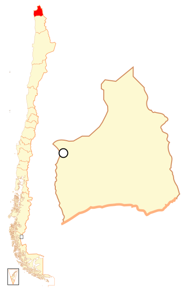
| Popis | Español: Mapa localizador de la XV Región de Arica y Parinacota |
| Dátum | |
| Zdroj | Vlastné dielo |
| Autor | B1mbo |
| Povolenie (Využívanie tohto súboru) | Ja, držiteľ autorských práv k tomuto dielu ho týmto zverejňujem za podmienok nasledovnej licencie: Tento súbor podlieha licencii Creative Commons Attribution-Share Alike 2.5 Generic
|
| Legal disclaimer The edition and circulation of maps, geographic charts and other documents about the boundaries and frontiers of Chile, don't have any relation with the Republic of Chile, according to the Article 2 g) of DFL Nº83 of 1979 of the Ministery of Foreign Affairs. La edición y circulación de mapas, cartas geográficas y otros documentos sobre los límites y fronteras de Chile no tienen relación alguna con la República de Chile de acuerdo al artículo 2 g) del DFL Nº83 de 1979 del Ministerio de Relaciones Exteriores. |
História súboru
Po kliknutí na dátum/čas uvidíte ako súbor vyzeral vtedy.
| Dátum/Čas | Náhľad | Rozmery | Používateľ | Komentár | |
|---|---|---|---|---|---|
| aktuálna | 22:36, 5. september 2018 | | 400 × 600 (1,12 MB) | Janitoalevic | Ñuble Region |
| 23:14, 20. august 2017 |  | 400 × 600 (1 019 KB) | Janitoalevic | Reverted to version as of 01:59, 6 October 2007 (UTC) | |
| 04:17, 20. august 2017 |  | 400 × 600 (1,05 MB) | Janitoalevic | Added Ñuble Region | |
| 01:59, 6. október 2007 |  | 400 × 600 (1 019 KB) | B1mbo | {{Information |Description= {{es|Mapa localizador de la XIV Región de Arica y Parinacota}} |Source=own work |Date=5 de octubre, 2007 |Author=B1mbo |Permission={{self|cc-by-sa-2.5}} |other_versions= |
Použitie súboru
Na tento súbor odkazujú nasledujúce 2 stránky:
Globálne využitie súborov
Nasledovné ďalšie wiki používajú tento súbor:
- Použitie na ba.wikipedia.org
- Použitie na bg.wikipedia.org
- Použitie na da.wikipedia.org
- Použitie na de.wikipedia.org
- Použitie na diq.wikipedia.org
- Použitie na en.wikipedia.org
- Použitie na es.wikipedia.org
- Použitie na eu.wikipedia.org
- Použitie na frr.wikipedia.org
- Použitie na hr.wikipedia.org
- Použitie na incubator.wikimedia.org
- Použitie na it.wikipedia.org
- Použitie na ja.wikipedia.org
- Použitie na ka.wikipedia.org
- Použitie na ko.wikipedia.org
- Použitie na lad.wikipedia.org
- Použitie na lt.wikipedia.org
- Použitie na nl.wikipedia.org
- Použitie na no.wikipedia.org
- Použitie na pl.wikipedia.org
- Použitie na pt.wikipedia.org
- Použitie na qu.wikipedia.org
Zobraziť ďalšie globálne použitie tohto súboru.