Vásárosnamény

This article needs additional citations for verification. (April 2014) |
Vásárosnamény | |
|---|---|
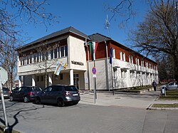
 Town hall of Vásárosnamény | |
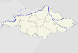
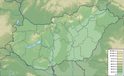
| Coordinates: 48°7′36″N 22°19′6″E / 48.12667°N 22.31833°E | |
| Country | |
| Region | Northern Great Plain |
| County | Szabolcs-Szatmár-Bereg |
| District | Vásárosnamény |
| Area | |
| • Total | 65.66 km2 (25.35 sq mi) |
| Population (2001) | |
| • Total | 9,325 |
| • Density | 142/km2 (370/sq mi) |
| Time zone | UTC+1 (CET) |
| • Summer (DST) | UTC+2 (CEST) |
| Postal code | 4800, 4802–4804 |
| Area code | 45 |
| Website | https://vasarosnameny.hu/ |
Vásárosnamény is a small town in Szabolcs-Szatmár-Bereg county, in the Northern Great Plain region of eastern Hungary. It also includes Vitka since 1969, and in 1939 Gergelyi and Ugornya formed by uniting Gergelyiugornya.
Postal history
[edit]Prior to the breakup of Hungary at the end of World War I, the town was in Bereg county. The Post office was established in 1836. The postmaster began using a straight line postmark in 1839. In 1848, the post office began using the standard Hungarian double circle postmark.[1]
References
[edit]- ^ Handbook of the Pre-stamp Postmarks of Austria by Edwin Mueller, 1960


