Two Hummock Island
 Van Wikipedia, de gratis encyclopedie
| Two Hummock Island | ||
|---|---|---|
 | ||
| Gewässer | Gerlache-Straße | |
| Inselgruppe | Palmer-Archipel (Westantarktika) | |
| Geographische Lage | 64° 8′ 10″ S, 61° 42′ 12″ W | |
| | ||
| Länge | 9,4 km | |
| Breite | 5 km | |
| Fläche | 25,25 km² | |
| Höchste Erhebung | 670 m | |
| Einwohner | unbewohnt | |
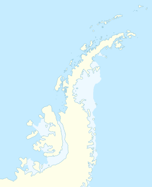
Two Hummock Island (von englisch two hummock ‚zwei Eishügel‘, in Argentinien gleichbedeutend Isla Dos Mogotes, in Chile Isla Two Hummock) ist eine eisbedeckte Insel im Palmer-Archipel westlich der Antarktischen Halbinsel. Sie liegt in nord-südlicher Ausdehnung etwa 8 km südöstlich von Liège Island.
Namensgebend für die Insel sind ihre zwei markanten Felsgipfel, die eine Höhe von 670 m erreichen. Über mehr als 100 Jahre trägt die Insel diesen Namen, der sich international durchgesetzt hat.
Weblinks
[Bearbeiten | Quelltext bearbeiten]- Two Hummock Island. In: Geographic Names Information System. United States Geological Survey, United States Department of the Interior, archiviert vom (englisch).
- Two Hummock Island auf geographic.org (englisch)

