Avre (Eure)
 From Wikipedia the free encyclopedia
| Avre | |
|---|---|
 | |
.png) | |
  | |
| Location | |
| Country | France |
| Physical characteristics | |
| Source | |
| • location | Orne |
| • elevation | 280 m (920 ft) |
| Mouth | |
• location | Eure |
• coordinates | 48°46′51″N 1°22′30″E / 48.78083°N 1.37500°E |
| Length | 80 km (50 mi) |
| Basin size | 917 km2 (354 sq mi) |
| Discharge | |
| • average | 4.5 m3/s (160 cu ft/s) |
| Basin features | |
| Progression | Eure→ Seine→ English Channel |
The Avre (French pronunciation: [avʁ]) is a river in France and a left tributary of the river Eure. It is 80.4 km (50.0 mi) long,[1] and its watershed extends to 917 km2.
Background[edit]
The headwaters are in the Perche forest in Orne. It is 280m above sea level and joins with the Eure near Dreux and forms the border between the Eure and Eure-et-Loir départements.
The Avre flows through the Orne, Eure-et-Loir and Eure départments and historically forms part of the border of Normandy.
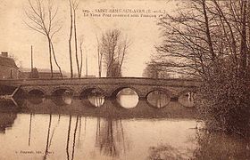
Gallery[edit]
- Avre, from source to mouth
-

-


References[edit]
| International | |
|---|---|
| National | |
This Normandy geography article is a stub. You can help Wikipedia by expanding it. |