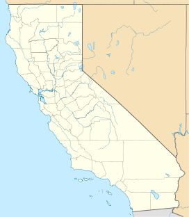
Cable Canyon
 From Wikipedia the free encyclopedia
This article relies largely or entirely on a single source. (November 2023) |
| Cable Canyon | |
|---|---|
| Geography | |
| Borders on | |
| Coordinates | 34°13′17″N 117°23′15″W / 34.22139°N 117.38750°W |
Cable Canyon is a valley on the south slope of the San Bernardino Mountains in San Bernardino County, California. Its mouth lies at an elevation of 2,073 feet / 632 meters. Its source is at 34°13′48″N 117°22′19″W / 34.23000°N 117.37194°W, the confluence of West Fork Cable Canyon and East Fork Cable Canyon, at an elevation of 2,671 feet / 814 meters.[1][2][3]
