Saudakent
 From Wikipedia the free encyclopedia
Saudakent Саудакент | |
|---|---|
 Saudakent | |
| Coordinates: 43°44′16″N 69°55′06″E / 43.73778°N 69.91833°E | |
| Country | Kazakhstan |
| Regions of Kazakhstan | Zhambyl Region |
| Districts of Kazakhstan | Sarysu District |
| Elevation | 324 m (1,063 ft) |
| Population (2009) | |
| • Total | 5,313 |
| Time zone | UTC+6 (East Kazakhstan Time) |
| Post code | 080710 |
Saudakent (Kazakh: Саудакент), known as Baikadam until 1993, is a town located in the Sarysu District, Zhambyl Region, Kazakhstan.[1] It is part of Baikadam rural district (КАТО code — 316033100).[2]
Demographics[edit]
According to the 2009 Kazakhstan census, the town has a population of 5313 people. In 1999 the town had a population of 5864.[3]
Geography[edit]
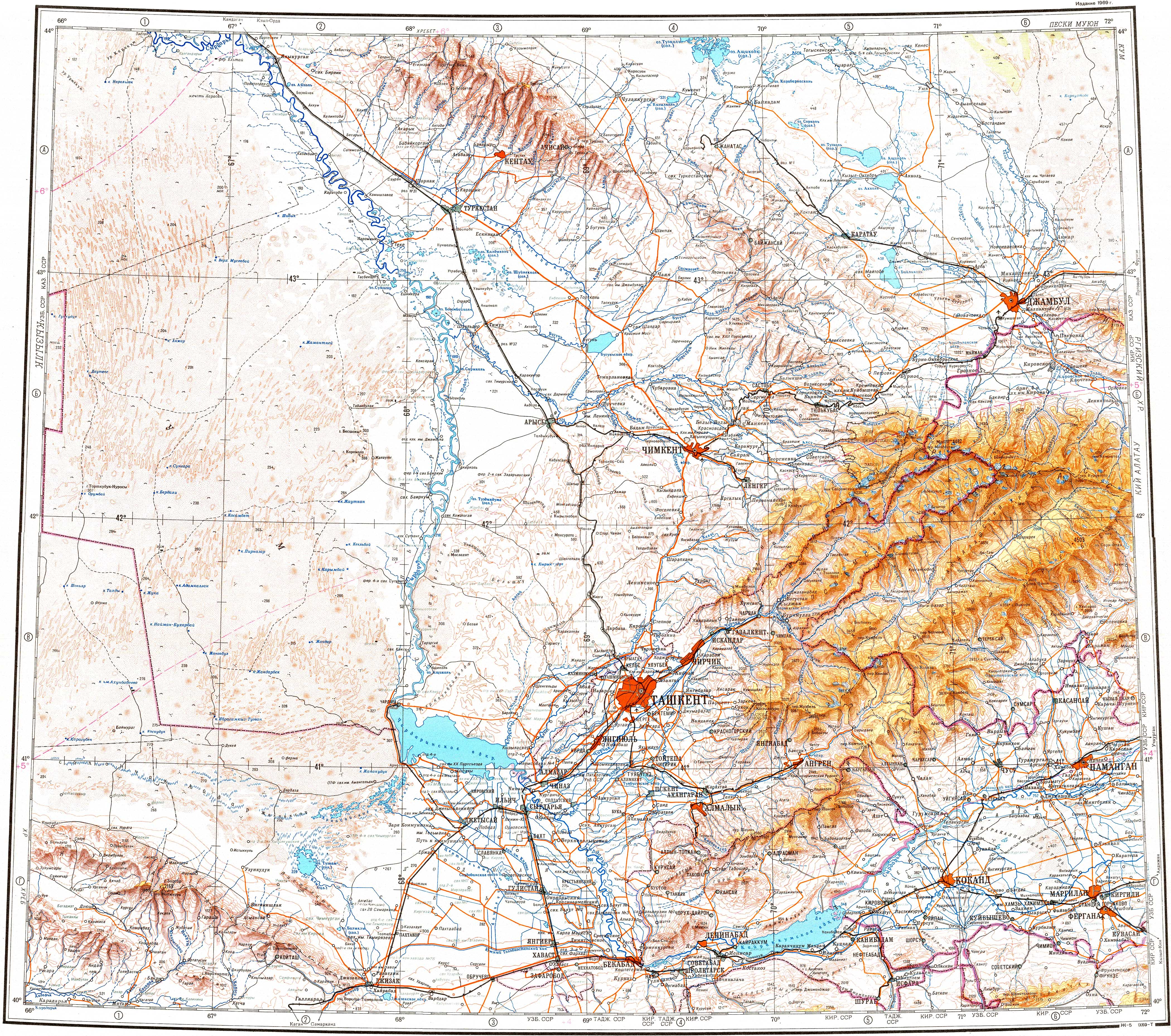
The town is located by the banks of the Shabakty river to the southeast of the Akzhar lakes, 25 kilometers (16 mi) northeast of the district center, the city of Zhanatas.[4][5]
Climate[edit]
Saudakent has a semi-arid climate (Köppen: BSk)[6] with cold winters and hot summers.
| Climate data for Saudakent (1991–2020) | |||||||||||||
|---|---|---|---|---|---|---|---|---|---|---|---|---|---|
| Month | Jan | Feb | Mar | Apr | May | Jun | Jul | Aug | Sep | Oct | Nov | Dec | Year |
| Mean daily maximum °C (°F) | −0.6 (30.9) | 2.4 (36.3) | 11.6 (52.9) | 20.6 (69.1) | 27.5 (81.5) | 33.2 (91.8) | 34.9 (94.8) | 33.5 (92.3) | 27.2 (81.0) | 19.1 (66.4) | 8.5 (47.3) | 1.0 (33.8) | 18.2 (64.8) |
| Daily mean °C (°F) | −5.5 (22.1) | −3.3 (26.1) | 4.7 (40.5) | 13.0 (55.4) | 19.5 (67.1) | 25.1 (77.2) | 26.8 (80.2) | 24.8 (76.6) | 18.0 (64.4) | 10.4 (50.7) | 2.1 (35.8) | −4.0 (24.8) | 11.0 (51.8) |
| Mean daily minimum °C (°F) | −9.4 (15.1) | −7.5 (18.5) | −0.6 (30.9) | 6.3 (43.3) | 11.5 (52.7) | 16.6 (61.9) | 18.3 (64.9) | 15.7 (60.3) | 9.2 (48.6) | 3.0 (37.4) | −2.8 (27.0) | −8.0 (17.6) | 4.4 (39.9) |
| Average precipitation mm (inches) | 21.3 (0.84) | 23.8 (0.94) | 26.8 (1.06) | 33.7 (1.33) | 23.7 (0.93) | 12.9 (0.51) | 10.9 (0.43) | 3.1 (0.12) | 4.7 (0.19) | 17.3 (0.68) | 24.7 (0.97) | 20.2 (0.80) | 223.1 (8.78) |
| Average precipitation days (≥ 1.0 mm) | 4.7 | 4.9 | 4.8 | 5.0 | 4.2 | 2.3 | 1.7 | 0.7 | 0.7 | 2.8 | 4.4 | 3.8 | 40.0 |
| Source: NOAA[7] | |||||||||||||
References[edit]
- ^ Google Earth.
- ^ "База КАТО". Агентство Республики Казахстан по статистике. Archived from the original on 2013-09-27.
- ^ Население Республики Казахстан (PDF) (in Russian). Committee on Statistics of Ministry of National Economy of the Republic of Kazakhstan. 2011. Archived (PDF) from the original on 2013-05-13.
- ^ "K-42 Topographic Chart (in Russian)". Retrieved 25 October 2022.
- ^ Google Earth.
- ^ "Table 1 Overview of the Köppen-Geiger climate classes including the defining criteria". Nature: Scientific Data.
- ^ "World Meteorological Organization Climate Normals for 1991-2020 — Saudakent". National Oceanic and Atmospheric Administration. Retrieved January 18, 2024.
This Kazakhstan location article is a stub. You can help Wikipedia by expanding it. |